
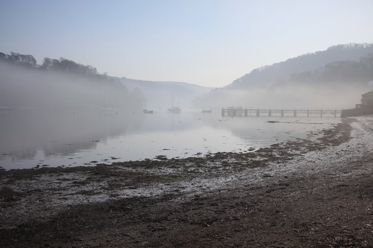
There is a saying among dog owners that everyone thinks they have the best dog in the world… and every one of them is right! It is just a way of saying that they are all different and all special. Whenever I hear people talk about the beauty and uniqueness of the estuary by which they live, work, or play, I always agree and think of that saying.
All of our South Devon estuaries, from the Yealm around to the Teign, are rias, or drowned river valleys (in fact, all of the south Cornwall estuaries are too). Their underlying forms were not carved out directly by glacial processes. Instead, they were formed during the ice ages by the raging energy of rivers carving deep riverbeds. At the time, with so much water locked up in the ice sheets, the sea level was about 120 metres below today’s levels. We would all have had to walk another 20 to 35 kilometres just to reach the sea!
As the climate warmed and the ice melted, the rising sea level gradually flooded the lower stretches of these riverbeds. Whichever stretch of the riverbed was tidal became, in a sense, the estuary of that time. I say "in a sense" because they may not have possessed other typical estuarine features, such as mudflats. Much would have depended upon how fast or slowly the sea level rose through each stretch.
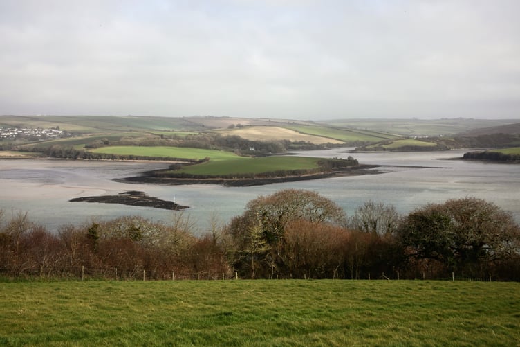
When the melting stabilised toward today's levels, the estuaries we recognise today formed and settled - sediments from land and sea created the mudflats, while animals, seaweeds, and plants thrived to form the ecosystems we recognise today. Of course, with ongoing climate change, this stability is shifting and our estuaries are once again migrating slightly upstream. How far and how quickly depends upon us and what might yet be unleashed.
So, despite all of our South Devon estuaries being drowned river valleys, they are otherwise quite individual. Their characteristics depend on their geography and geology, depth, the size of their freshwater rain catchments, and the forms left behind by their sculpting rivers.
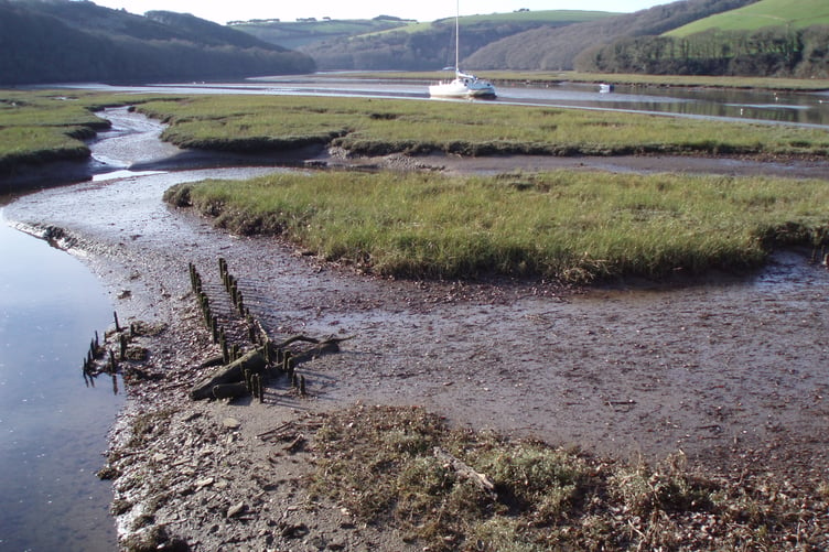
Those that are deeper have naturally been utilised as harbours and ports, such as the Yealm, Salcombe, Dart, and Teign. The Erme and Avon still have anchorages, but they mostly drain out with each low tide.
The Salcombe-Kingsbridge Estuary has a very small rainwater catchment, so is heavily dominated by tidal saltwater. Because of this, it supports a more marine diversity and richness of wildlife. Conversely, the Dart Estuary has a far larger rainwater catchment and is generally thought to support a more typical estuarine wildlife community – more dominated by fewer species.
It is said that after a rainstorm in the Dart’s catchment, you can taste the freshwater flowing out over the denser seawater right down as far as Dartmouth Castle. But, since this freshwater flows over the top, the depths remain saline. I have always wondered what wildlife treasures might be found around the depths of the Dart’s Anchor Stone, where the rich tidal waters sweep by. The greater proportion of freshwater also washes down more turbid and moorland peat-stained water, meaning that these depths remain hidden from view.



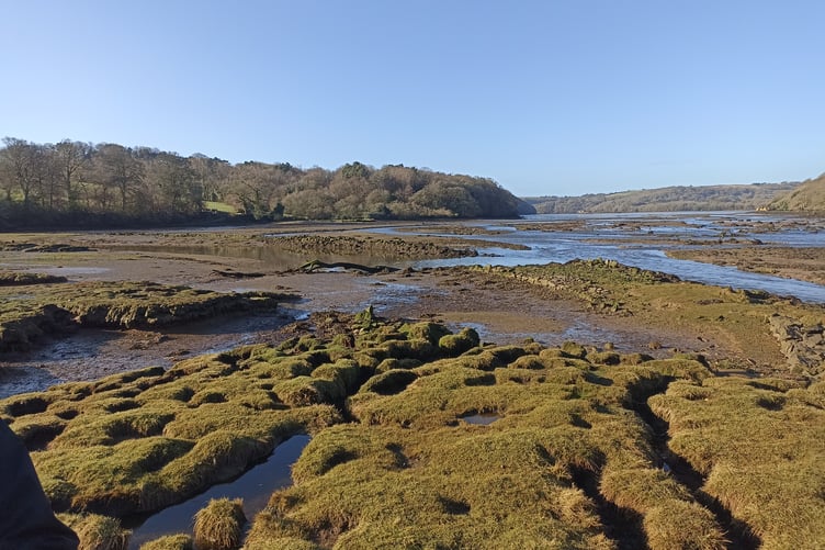
The Yealm is a bit of a halfway house in this regard. It has a reasonable input of freshwater, but not enough to flush out the buildup of nutrients, causing it to suffer from green and red algal blooms. However, this is nothing like the level of algal blooms that the Salcombe-Kingsbridge Estuary experiences, likely because Salcombe has so little freshwater to flush them out.
I would argue, though, that we all still have the power to try to reduce the nutrients we all allow to flow into our estuaries. We shouldn't just worry about our rivers in that respect, but every stream and every trickle. They all flow downstream - either to an estuary or, via our coastal streams, straight down a beach, which can sometimes run green from the nutrients within them.
I did a bit of research just to check on things and was reminded that we have nine different types of estuary in the UK, of which our rias are only one. Our local Exe Estuary is what is termed a "bar-built estuary" - formed much like our drowned river estuaries, but the sediment that settled within its depths kept pace with the rising sea level. This has made it a very shallow estuary, and that sediment now forms a dynamic bar across the estuary mouth.
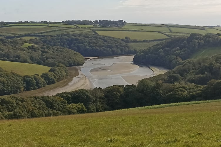
I also found that our local Slapton Ley (or lagoon) was apparently a bar-built estuary at one time in history. However, shingle closed the gap, probably during a storm, and remained stable enough to entrap the lagoon we now know as the Ley. Over the years, the saltwater has been washed out, but even now, the salt spray from storms can be enough to make it temporarily brackish. The water level of the Ley is higher than the tides, creating a net water flow from the Ley into the sea. Sometimes, if you snorkel on the seaward side, you might see a "slur," shimmer, or blurriness in the water. This is the freshwater filtering through from the shingle of the Line as it mixes with the seawater.
Comments
We've recently changed our login process. If you have an account for commenting, you will need to re-register on the login window.
This article has no comments yet. Be the first to leave a comment.